
Google Earth Outreach shares information with a comprehensive spatial view.
Google Earth Outreach is facilitating many amazing advances in GIS mapping. It allows non-profits and international and local organizations a platform in which to share with the world spatial information, details, links, etc. regarding causes, stories, developments, educational streams, and more on a practical, visual, and sometimes quantitive level.
Google Earth Outreach – Special Projects: Oceans ~ Climate ~ Air-quality ~ Conservation
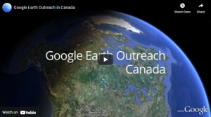 View the ‘Google Earth Outreach in Canada‘ which highlights sample maps of:
- ‘Caribou Migration’ by Golder Associates Ltd & Hugh Stimson
- ‘I Am Fish’ by the David Suzuki Foundation
- ‘Canada’s Boreal, the World’s Largest Intact Forest’ by Pew Environment Group
- ‘Voices on the Land’ by Okanagan Nation Alliance, Gregory Kehm Associates & Ecotrust Canada
- ‘Oil & Water Map’ by the Living Oceans Society
- ‘Natural Capital’ by the David Suzuki Foundation
The possibilities for GIS maps are endless, as viewed in the videos found on the Google Earth Outreach Website. It is a fabulous way to share information quickly, visually, and will an instant overview of the spatial and social effects countries or areas are experiencing. Sharing information will never be the same as our global community becomes more and more connected. Let’s see what inspiring endeavours arise next in the evolving world of data delivery.
Google Earth Outreach – Changing the World with Maps
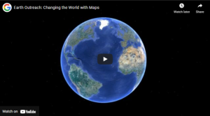
The possibilities for GIS maps are endless, as viewed in the video below, found on the Google Earth Outreach Website. It is a fabulous way to share information quickly, visually, and will an instant overview of the spatial and social effects countries or areas are experiencing. Sharing information will never be the same as our global community becomes more and more connected.
You can make your own GIS map to share locations and vital data regarding your cause or organization. Start building a map to represent relevant data just as the fine examples below did. Many groups employ Google Earth, Google Earth Engine, Google Tour Builder, and Google Street View to zoom in and out on areas to tell the story and complete the visual picture. This is particularly useful when documented land and water changes.
 Living Oceans create several maps designed to teach the public about issues, protect and manage marine life, and more.
Jane Goodall and like-minded people are using Google Open Source to help track the number and save the remaining chimpanzees in Africa. See more on their work. Another fine example is Mapping forests to Save Sumatra – WWF – Eyes on the Forest.
Google Earth Outreach – Sucess Stories – ‘Get Inspired’
Below are just some of the titles that represent stories, projects, issues, solutions relating to a variety of social and environmental, educational, developmental bases. Many of the films’ messages are enhanced by employing Geographic Information System maps to help tell the story and present the data more effectively.